
Guhrow topographic map
Interactive map
Click on the map to display elevation.
About this map
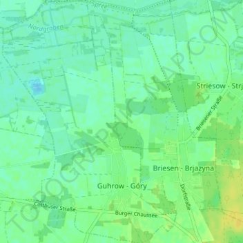
Name: Guhrow topographic map, elevation, terrain.
Average elevation: 194 ft
Minimum elevation: 171 ft
Maximum elevation: 230 ft
Other topographic maps
Click on a map to view its topography, its elevation and its terrain.
Guben
Allemagne > Brandebourg > Spree-Neiße - Sprjewja-Nysa
Guben, Spree-Neiße - Sprjewja-Nysa, Brandebourg, 03172, Allemagne
Average elevation: 190 ft