
Grazalema topographic map
Interactive map
Click on the map to display elevation.
About this map
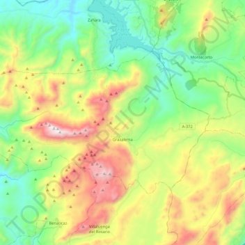
Name: Grazalema topographic map, elevation, terrain.
Location: Grazalema, Cádiz, Andalucía, 11610, España (36.72056 -5.50151 36.81942 -5.29093)
Average elevation: 2,530 ft
Minimum elevation: 922 ft
Maximum elevation: 5,322 ft