
Bridger topographic map
Interactive map
Click on the map to display elevation.
About this map
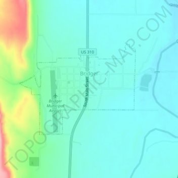
Name: Bridger topographic map, elevation, terrain.
Location: Bridger, Carbon County, Montana, USA (45.28648 -108.92881 45.30026 -108.90375)
Average elevation: 3,707 ft
Minimum elevation: 3,602 ft
Maximum elevation: 4,098 ft