
Clermont topographic map
Interactive map
Click on the map to display elevation.
About this map
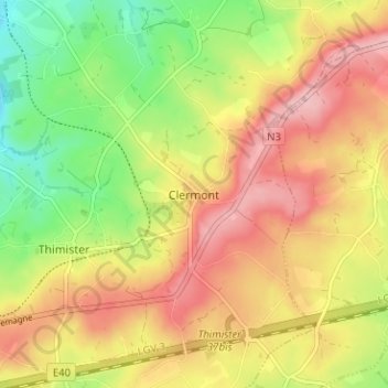
Name: Clermont topographic map, elevation, terrain.
Location: Clermont, Verviers, Liège, Wallonia, 4890, Belgium (50.63897 5.86367 50.67897 5.90367)
Average elevation: 928 ft
Minimum elevation: 679 ft
Maximum elevation: 1,148 ft