
Congostinas topographic map
Interactive map
Click on the map to display elevation.
About this map
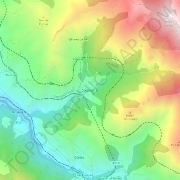
Name: Congostinas topographic map, elevation, terrain.
Location: Congostinas, Pola de Lena, 33694, España (43.07609 -5.78721 43.11609 -5.74721)
Average elevation: 2,822 ft
Minimum elevation: 1,365 ft
Maximum elevation: 5,010 ft