
Sidi Amar topographic map
Interactive map
Click on the map to display elevation.
About this map
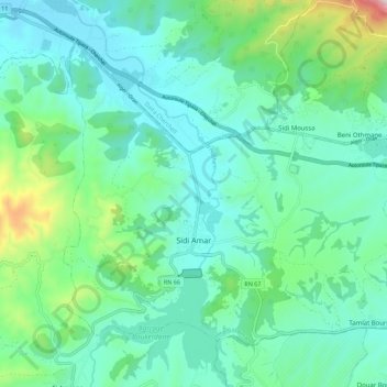
Name: Sidi Amar topographic map, elevation, terrain.
Location: Sidi Amar, Daïra Sidi Amar, Tipaza, Algérie (36.51811 2.26847 36.58822 2.37963)
Average elevation: 545 ft
Minimum elevation: 20 ft
Maximum elevation: 2,595 ft