Col de Champillon topographic map
Interactive map
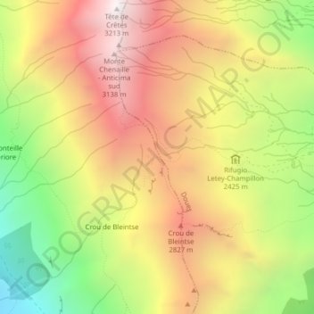
Click on the map to display elevation.
About this map
Name: Col de Champillon topographic map, elevation, terrain.
Average elevation: 8,064 ft
Minimum elevation: 5,328 ft
Maximum elevation: 10,456 ft

Click on the map to display elevation.
Name: Col de Champillon topographic map, elevation, terrain.
Average elevation: 8,064 ft
Minimum elevation: 5,328 ft
Maximum elevation: 10,456 ft