
Garfield Bight topographic map
Interactive map
Click on the map to display elevation.
About this map
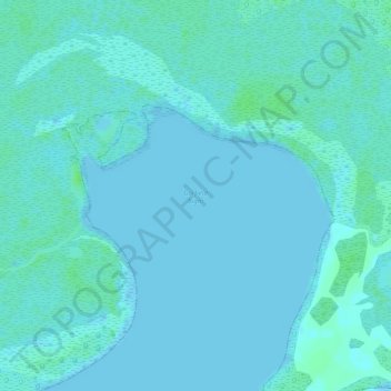
Name: Garfield Bight topographic map, elevation, terrain.
Average elevation: 10 ft
Minimum elevation: -3 ft
Maximum elevation: 30 ft
Other topographic maps
Click on a map to view its topography, its elevation and its terrain.
Mayo Key
États-Unis d'Amérique > Floride > Comté de Monroe
Mayo Key, Comté de Monroe, Floride, États-Unis d'Amérique
Average elevation: 0 ft