
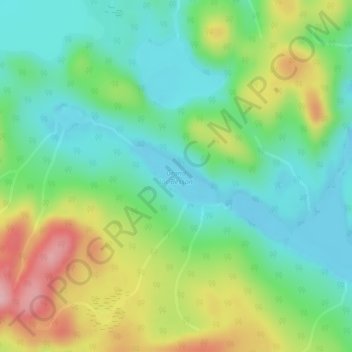
Grand lac Besson topographic map
Interactive map
Click on the map to display elevation.
About this map
Name: Grand lac Besson topographic map, elevation, terrain.
Average elevation: 1,378 ft
Minimum elevation: 1,181 ft
Maximum elevation: 1,749 ft
Other topographic maps
Click on a map to view its topography, its elevation and its terrain.
Rivière Manicouagan
Canada > Québec > Rivière-aux-Outardes
Rivière Manicouagan, Rivière-aux-Outardes, Manicouagan, Côte-Nord, Québec, Canada
Average elevation: 719 ft
Lac George
Canada > Québec > Rivière-aux-Outardes
Lac George, Trans-Québec-Labrador, Rivière-aux-Outardes, Manicouagan, Côte-Nord, Québec, Canada
Average elevation: 1,299 ft