Geolocate

Shire Enda Silassie topographic map

Click on the map to display elevation.

About this map

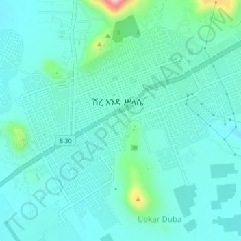
Name: Shire Enda Silassie topographic map, elevation, terrain.

Location: Shire Enda Silassie, Western Tigray, Tigray, Ethiopia (14.08672 38.26776 14.11291 38.30191)

Average elevation: 6,273 ft

Minimum elevation: 6,145 ft

Maximum elevation: 6,913 ft

Gear up for your next adventure:

🚑Emergency Bivvies - Heat-reflective sleeping bags for survival situations
Backpacking Tent - Lightweight and durable tent for multi‑day hikes
🏔️Mountain Trail Maps - High‑detail maps for popular peaks
💧Water Purification System - Clean water on the trail with reliable purifiers
🥩Freeze-Dried Meals - Nutritious and lightweight food for remote expeditions

As an Amazon Associate, this site earns from qualifying purchases at no extra cost to you.