
Mitú topographic map
Interactive map
Click on the map to display elevation.
About this map
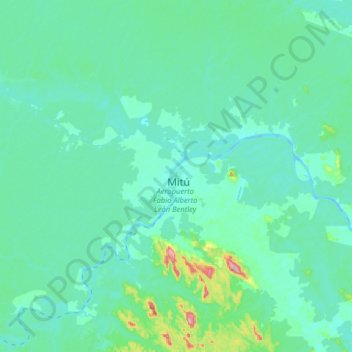
Name: Mitú topographic map, elevation, terrain.
Location: Mitú, Vaupés, Colombia (1.09233 -70.39089 1.41233 -70.07089)
Average elevation: 633 ft
Minimum elevation: 505 ft
Maximum elevation: 1,581 ft
Other topographic maps
Click on a map to view its topography, its elevation and its terrain.