
Junkerdal topographic map
Interactive map
Click on the map to display elevation.
About this map
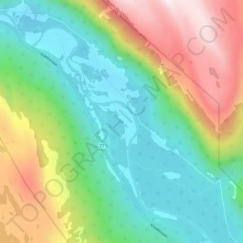
Name: Junkerdal topographic map, elevation, terrain.
Location: Junkerdal, Saltdal, Nordland, Norway (66.78405 15.55470 66.82405 15.59470)
Average elevation: 1,650 ft
Minimum elevation: 607 ft
Maximum elevation: 3,675 ft