
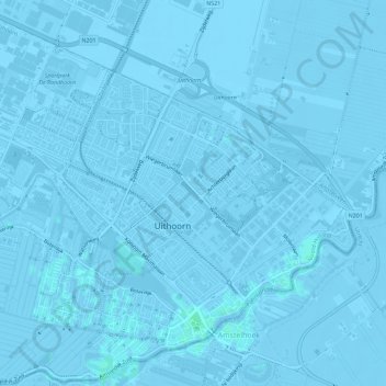
Uithoorn topographic map
Interactive map
Click on the map to display elevation.
About this map
Name: Uithoorn topographic map, elevation, terrain.
Location: Uithoorn, North Holland, Netherlands (52.22711 4.79506 52.26102 4.85219)
Average elevation: -7 ft
Minimum elevation: -23 ft
Maximum elevation: 10 ft
Dutch topographic map of the municipality of Uithoorn, June 2015