
Mormon Lake topographic map
Interactive map
Click on the map to display elevation.
About this map
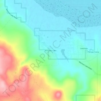
Name: Mormon Lake topographic map, elevation, terrain.
Location: Mormon Lake, Coconino County, Arizona, 86038, VS (34.88835 -111.48321 34.92835 -111.44321)
Average elevation: 7,260 ft
Minimum elevation: 7,096 ft
Maximum elevation: 7,644 ft