
Sabinė topographic map
Interactive map
Click on the map to display elevation.
About this map
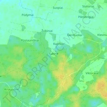
Name: Sabinė topographic map, elevation, terrain.
Average elevation: 210 ft
Minimum elevation: 180 ft
Maximum elevation: 253 ft
Other topographic maps
Click on a map to view its topography, its elevation and its terrain.
Sabinė
Lithuania > Marijampole County > Sabinė
Sabinė, Lukšiai eldership, Šakių rajono savivaldybė, Marijampole County, Lithuania
Average elevation: 213 ft