
Le Massegros topographic map
Interactive map
Click on the map to display elevation.
About this map
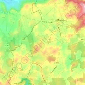
Name: Le Massegros topographic map, elevation, terrain.
Average elevation: 2,831 ft
Minimum elevation: 2,438 ft
Maximum elevation: 3,291 ft
Other topographic maps
Click on a map to view its topography, its elevation and its terrain.
Massegros Causses Gorges
France > Occitanie > Massegros Causses Gorges
Massegros Causses Gorges, Florac, Lozère, Occitanie, France métropolitaine, 48500, France
Average elevation: 2,808 ft