
Ramanayyapeta topographic map
Interactive map
Click on the map to display elevation.
About this map
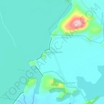
Name: Ramanayyapeta topographic map, elevation, terrain.
Location: Ramanayyapeta, East Godavari, Andhra Pradesh, 533429, India (17.30014 82.08093 17.34014 82.12093)
Average elevation: 285 ft
Minimum elevation: 157 ft
Maximum elevation: 1,076 ft