
Acolla topographic map
Interactive map
Click on the map to display elevation.
About this map
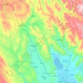
Name: Acolla topographic map, elevation, terrain.
Location: Acolla, Provincia de Jauja, Junín, Perú (-11.77989 -75.62279 -11.57716 -75.51279)
Average elevation: 12,595 ft
Minimum elevation: 11,007 ft
Maximum elevation: 15,430 ft