
Cerro Peñon topographic map
Interactive map
Click on the map to display elevation.
About this map
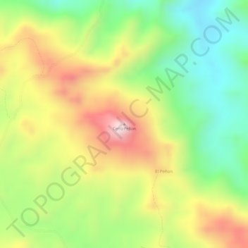
Name: Cerro Peñon topographic map, elevation, terrain.
Location: Cerro Peñon, Distrito Ocú, Herrera, Panamá (7.85156 -80.92680 7.85166 -80.92670)
Average elevation: 1,020 ft
Minimum elevation: 394 ft
Maximum elevation: 1,706 ft
Other topographic maps
Click on a map to view its topography, its elevation and its terrain.
Los Planes
Panamá > Herrera > Distrito Ocú
Los Planes, Distrito Ocú, Herrera, Panamá
Average elevation: 1,014 ft
La Chorrera
Panamá > Herrera > Distrito Ocú > La Chorrera
La Chorrera, Distrito Ocú, Herrera, Panamá
Average elevation: 167 ft