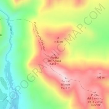
Piedra del Águila topographic map
Interactive map
Click on the map to display elevation.
About this map
Name: Piedra del Águila topographic map, elevation, terrain.
Average elevation: 4,249 ft
Minimum elevation: 3,481 ft
Maximum elevation: 5,016 ft

Click on the map to display elevation.
Name: Piedra del Águila topographic map, elevation, terrain.
Average elevation: 4,249 ft
Minimum elevation: 3,481 ft
Maximum elevation: 5,016 ft