
Texcoco topographic map
Interactive map
Click on the map to display elevation.
About this map
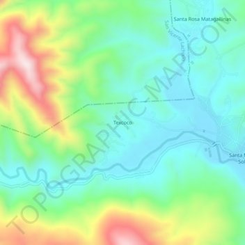
Name: Texcoco topographic map, elevation, terrain.
Location: Texcoco, Santa María Sola, Oaxaca, México (16.55167 -97.05333 16.59167 -97.01333)
Average elevation: 5,230 ft
Minimum elevation: 4,738 ft
Maximum elevation: 6,355 ft