
Somerset Reservoir topographic map
Interactive map
Click on the map to display elevation.
About this map
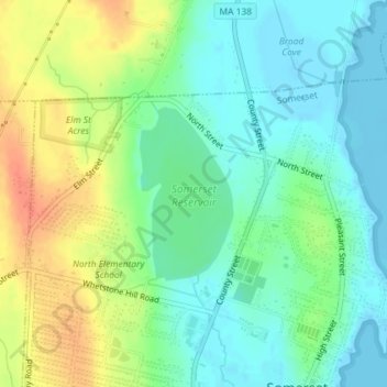
Name: Somerset Reservoir topographic map, elevation, terrain.
Average elevation: 59 ft
Minimum elevation: -13 ft
Maximum elevation: 154 ft
Other topographic maps
Click on a map to view its topography, its elevation and its terrain.
Somerset
United States > Massachusetts > Bristol County > Somerset
Somerset, Bristol County, Massachusetts, United States
Average elevation: 112 ft