
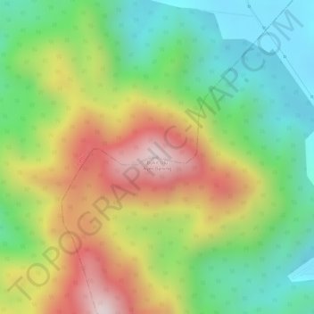
Bukit Ulu Ayer Baning topographic map
Interactive map
Click on the map to display elevation.
About this map
Name: Bukit Ulu Ayer Baning topographic map, elevation, terrain.
Average elevation: 1,083 ft
Minimum elevation: 331 ft
Maximum elevation: 2,031 ft