
Manuela topographic map
Interactive map
Click on the map to display elevation.
About this map
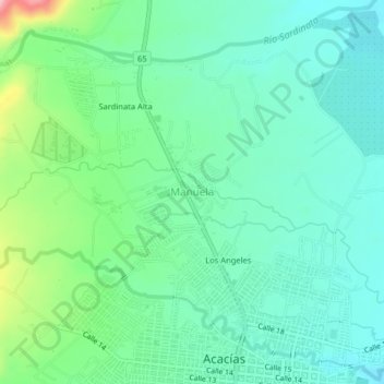
Name: Manuela topographic map, elevation, terrain.
Location: Manuela, Acacías, Piedemonte, Meta, 507001, Colombie (3.98616 -73.79078 4.02616 -73.75078)
Average elevation: 1,798 ft
Minimum elevation: 1,654 ft
Maximum elevation: 2,231 ft