
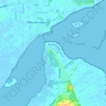
Udbyhøj topographic map
Interactive map
Click on the map to display elevation.
About this map
Name: Udbyhøj topographic map, elevation, terrain.
Location: Udbyhøj, Norddjurs Municipality, Denmark (56.58277 10.28775 56.62277 10.32775)
Average elevation: 3 ft
Minimum elevation: -10 ft
Maximum elevation: 95 ft