
Tinguipaya topographic map
Interactive map
Click on the map to display elevation.
About this map
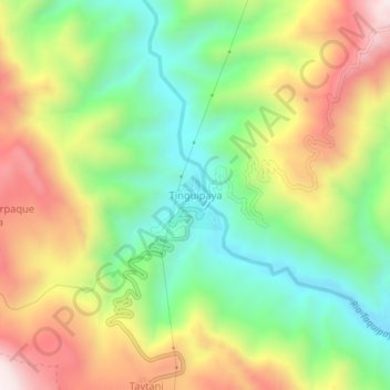
Name: Tinguipaya topographic map, elevation, terrain.
Location: Tinguipaya, Provincia Tomás Frías, Potosí, Bolivia (-19.24016 -65.84247 -19.20016 -65.80247)
Average elevation: 11,388 ft
Minimum elevation: 10,308 ft
Maximum elevation: 12,815 ft