
Kolapur topographic map
Interactive map
Click on the map to display elevation.
About this map
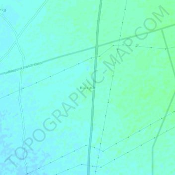
Name: Kolapur topographic map, elevation, terrain.
Location: Kolapur, Radhanpur Taluka, Patan, Gujarat, India (23.87650 71.60465 23.91650 71.64465)
Average elevation: 121 ft
Minimum elevation: 112 ft
Maximum elevation: 135 ft
Other topographic maps
Click on a map to view its topography, its elevation and its terrain.
Radhanpur Rural Premnagar
India > Gujarat > Radhanpur Taluka
Radhanpur Rural Premnagar, Radhanpur Taluka, Patan, Gujarat, 385340, India
Average elevation: 108 ft