
Hidalgotitlán topographic map
Interactive map
Click on the map to display elevation.
About this map
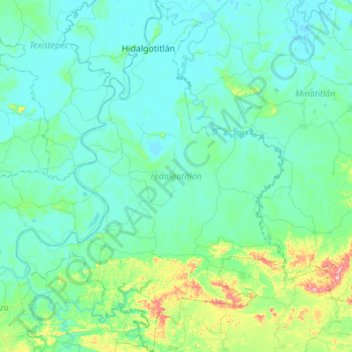
Name: Hidalgotitlán topographic map, elevation, terrain.
Location: Hidalgotitlán, Veracruz de Ignacio de la Llave, México (17.32081 -94.85267 17.84396 -94.43137)
Average elevation: 131 ft
Minimum elevation: -7 ft
Maximum elevation: 1,099 ft