
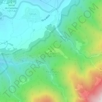
el Cortalet topographic map
Interactive map
Click on the map to display elevation.
About this map
Name: el Cortalet topographic map, elevation, terrain.
Location: el Cortalet, Urús, Cerdagne, Gérone, Catalogne, 17538, Espagne (42.34212 1.85979 42.34222 1.85989)
Average elevation: 4,780 ft
Minimum elevation: 3,973 ft
Maximum elevation: 6,896 ft