
Tinjacá topographic map
Interactive map
Click on the map to display elevation.
About this map
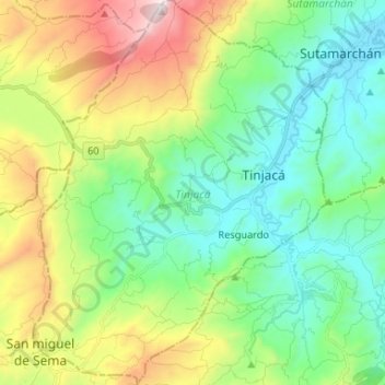
Name: Tinjacá topographic map, elevation, terrain.
Location: Tinjacá, Ricaurte, Boyacá, Colombia (5.50794 -73.72554 5.63850 -73.62517)
Average elevation: 8,064 ft
Minimum elevation: 6,818 ft
Maximum elevation: 10,860 ft