
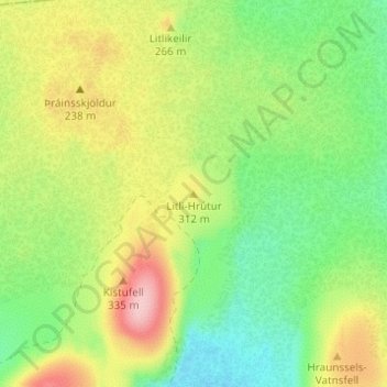
Litli-Hrútur topographic map
Interactive map
Click on the map to display elevation.
About this map
Name: Litli-Hrútur topographic map, elevation, terrain.
Location: Litli-Hrútur, Grindavíkurbær, Southern Peninsula, Iceland (63.91594 -22.21226 63.91604 -22.21216)
Average elevation: 722 ft
Minimum elevation: 509 ft
Maximum elevation: 1,030 ft
Other topographic maps
Click on a map to view its topography, its elevation and its terrain.