
Parang topographic map
Interactive map
Click on the map to display elevation.
About this map
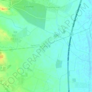
Name: Parang topographic map, elevation, terrain.
Location: Parang, Tarlac, Central Luzon, 2301, Philippines (15.39173 120.62931 15.43173 120.66931)
Average elevation: 118 ft
Minimum elevation: 89 ft
Maximum elevation: 190 ft