
Heisler Park topographic map
Interactive map
Click on the map to display elevation.
About this map
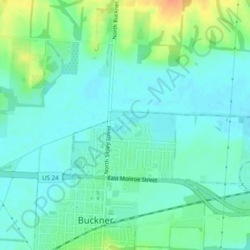
Name: Heisler Park topographic map, elevation, terrain.
Location: Heisler Park, Buckner, Jackson County, Missouri, USA (39.14235 -94.19675 39.14490 -94.19198)
Average elevation: 751 ft
Minimum elevation: 715 ft
Maximum elevation: 840 ft