
Tai Lam Chung Catchwater Section M topographic map
Interactive map
Click on the map to display elevation.
About this map
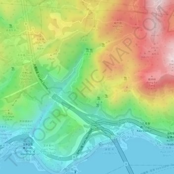
Name: Tai Lam Chung Catchwater Section M topographic map, elevation, terrain.
Average elevation: 594 ft
Minimum elevation: -7 ft
Maximum elevation: 1,453 ft