
Picup topographic map
Interactive map
Click on the map to display elevation.
About this map
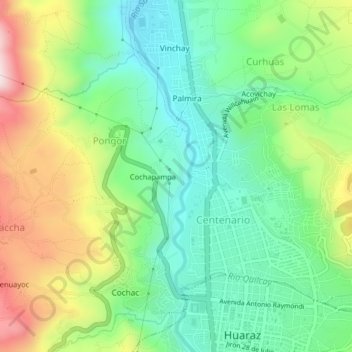
Name: Picup topographic map, elevation, terrain.
Location: Picup, Pongor, Independencia, Huaraz, Áncash, 02690, Perú (-9.53175 -77.55663 -9.49175 -77.51663)
Average elevation: 10,328 ft
Minimum elevation: 9,698 ft
Maximum elevation: 11,457 ft