
Манић topographic map
Interactive map
Click on the map to display elevation.
About this map
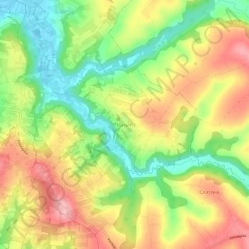
Name: Манић topographic map, elevation, terrain.
Location: Манић, Ville de Belgrade, Serbie centrale, Serbie (44.49201 20.40882 44.53201 20.44882)
Average elevation: 581 ft
Minimum elevation: 367 ft
Maximum elevation: 794 ft