
江坝村 topographic map
Interactive map
Click on the map to display elevation.
About this map
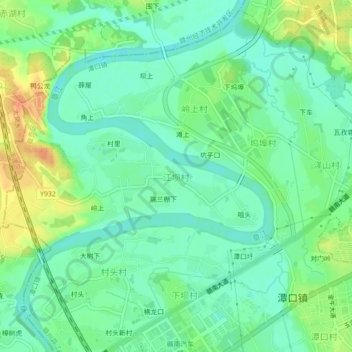
Name: 江坝村 topographic map, elevation, terrain.
Location: 江坝村, 潭口镇, 赣州蓉江新区, 赣州市, 江西省, 中国 (25.73787 114.79966 25.77787 114.83966)
Average elevation: 384 ft
Minimum elevation: 335 ft
Maximum elevation: 469 ft