
Riverwood topographic map
Interactive map
Click on the map to display elevation.
About this map
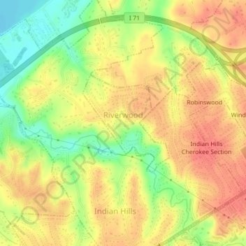
Name: Riverwood topographic map, elevation, terrain.
Location: Riverwood, Jefferson County, Kentucky, USA (38.27686 -85.66730 38.28751 -85.65515)
Average elevation: 531 ft
Minimum elevation: 427 ft
Maximum elevation: 594 ft