
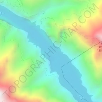
瞿塘峽 topographic map
Interactive map
Click on the map to display elevation.
About this map
Name: 瞿塘峽 topographic map, elevation, terrain.
Location: 瞿塘峽, 三峡之巅徒步道, 白帝镇, 奉节县, 渝东北三峡库区城镇群, 重庆市, 中国 (31.02700 109.60426 31.02710 109.60436)
Average elevation: 1,627 ft
Minimum elevation: 364 ft
Maximum elevation: 4,514 ft