Geolocate

Baker topographic map

Click on the map to display elevation.

About this map

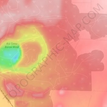
Name: Baker topographic map, elevation, terrain.

Location: Baker, Boron, Kern County, California, United States (35.02220 -117.68756 35.06220 -117.64756)

Average elevation: 2,510 ft

Minimum elevation: 1,913 ft

Maximum elevation: 2,674 ft

Kern County trails, hiking, mountain biking, running and outdoor activities

Gear up for your next adventure:

🧭Hiking Compass - Precision compass for reliable navigation in the wilderness
🔊Portable Camp Speaker - Music and alerts at camp
🔥Fast-Boil Camping Stoves - Efficient cooking systems for quick trail meals
🧣Hiking Neck Gaiter - Multi‑use neck protection for outdoor weather
👟Men's Trail Runners - Lightweight footwear for fast-paced exploration and light hiking

As an Amazon Associate, this site earns from qualifying purchases at no extra cost to you.