Cabecar topographic map
Interactive map
Click on the map to display elevation.
About this map
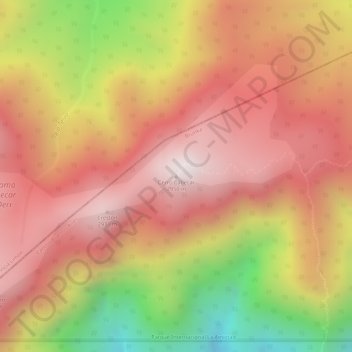
Name: Cabecar topographic map, elevation, terrain.
Average elevation: 8,747 ft
Minimum elevation: 7,096 ft
Maximum elevation: 9,662 ft

Click on the map to display elevation.
Name: Cabecar topographic map, elevation, terrain.
Average elevation: 8,747 ft
Minimum elevation: 7,096 ft
Maximum elevation: 9,662 ft