
Lerona topographic map
Interactive map
Click on the map to display elevation.
About this map
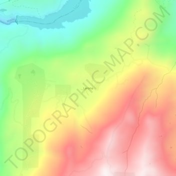
Name: Lerona topographic map, elevation, terrain.
Location: Lerona, Fresno County, California, United States (37.10939 -119.45124 37.14939 -119.41124)
Average elevation: 2,831 ft
Minimum elevation: 1,217 ft
Maximum elevation: 4,482 ft