
Cabrera topographic map
Interactive map
Click on the map to display elevation.
About this map
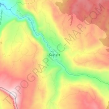
Name: Cabrera topographic map, elevation, terrain.
Location: Cabrera, Cundinamarca, Colombia (3.94520 -74.52434 4.02520 -74.44434)
Average elevation: 7,395 ft
Minimum elevation: 5,423 ft
Maximum elevation: 9,072 ft