
Mary Island State Park topographic map
Interactive map
Click on the map to display elevation.
About this map
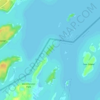
Name: Mary Island State Park topographic map, elevation, terrain.
Average elevation: 249 ft
Minimum elevation: 240 ft
Maximum elevation: 322 ft
Other topographic maps
Click on a map to view its topography, its elevation and its terrain.
Westminster Park
USA > New York > Westminster Park
Westminster Park, Jefferson County, New York, 13607, USA
Average elevation: 259 ft