
Ruden topographic map
Interactive map
Click on the map to display elevation.
About this map
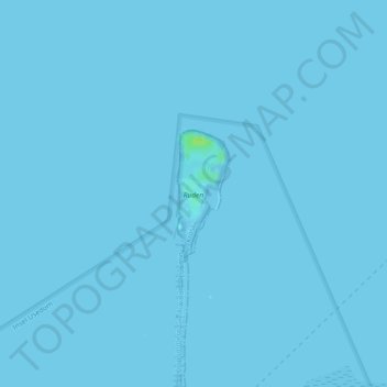
Name: Ruden topographic map, elevation, terrain.
Average elevation: 0 ft
Minimum elevation: -3 ft
Maximum elevation: 33 ft
Other topographic maps
Click on a map to view its topography, its elevation and its terrain.
Großer Wotig
Deutschland > Mecklenburg-Vorpommern > Kröslin
Großer Wotig, Kröslin, Lubmin, Vorpommern-Greifswald, Mecklenburg-Vorpommern, Deutschland
Average elevation: 7 ft