
Santa Rose topographic map
Interactive map
Click on the map to display elevation.
About this map
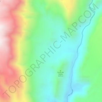
Name: Santa Rose topographic map, elevation, terrain.
Average elevation: 11,522 ft
Minimum elevation: 10,702 ft
Maximum elevation: 12,812 ft
Other topographic maps
Click on a map to view its topography, its elevation and its terrain.
Atacama Large Millimeter Array Science Preserve
Chile > Antofagasta Region > San Pedro de Atacama
Atacama Large Millimeter Array Science Preserve, San Pedro de Atacama, Provincia de El Loa, Antofagasta Region, Chile
Average elevation: 15,797 ft