
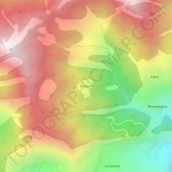
Dhakuri topographic map
Interactive map
Click on the map to display elevation.
About this map
Name: Dhakuri topographic map, elevation, terrain.
Location: Dhakuri, Jhundidhar, Kapkot, Bageshwar, India (30.03534 79.91075 30.07534 79.95075)
Average elevation: 7,982 ft
Minimum elevation: 4,911 ft
Maximum elevation: 10,515 ft