
Quintela topographic map
Interactive map
Click on the map to display elevation.
About this map
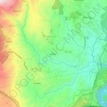
Name: Quintela topographic map, elevation, terrain.
Location: Quintela, Vila Real, Douro, Norte, 5000-546, Portugal (41.27848 -7.79904 41.31848 -7.75904)
Average elevation: 1,542 ft
Minimum elevation: 846 ft
Maximum elevation: 2,697 ft