
Puray River topographic map
Interactive map
Click on the map to display elevation.
About this map
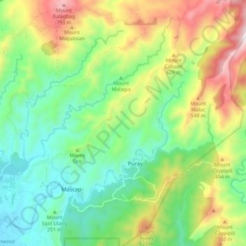
Name: Puray River topographic map, elevation, terrain.
Location: Puray River, Mascap, Rizal, Calabarzon, 1631, Philippines (14.74884 121.15511 14.82160 121.23843)
Average elevation: 1,050 ft
Minimum elevation: 85 ft
Maximum elevation: 2,782 ft