
Gorp topographic map
Interactive map
Click on the map to display elevation.
About this map
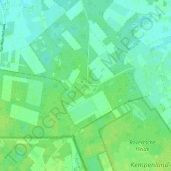
Name: Gorp topographic map, elevation, terrain.
Location: Gorp, Hilvarenbeek, Noord-Brabant, Nederland, 5081, Nederland (51.46338 5.06387 51.50338 5.10387)
Average elevation: 66 ft
Minimum elevation: 46 ft
Maximum elevation: 85 ft